
Follow a West Goshen Township Street as Parcels
A West Goshen Township street directory works best as a parcel-by-parcel record trail. The county's ChescoViews map identifies land, not a roster of everyone at an address. Start with one precise site address and confirm the municipality, especially when the mailing city says West Chester. The result can provide a site address, owner name, owner mailing address, UPI, PIN, and a recent deed reference. Keep the UPI and PIN separate. They are different county identifiers, and the owner mailing address is tax correspondence rather than proof that a person lives at the site.
Then build the record trail in order. The recorder document can date ownership; the official voter channel can verify an identified person's own registration status; and a library-held reverse directory, if a researcher confirms a particular volume and its coverage, can be paired with dated evidence. This sequence does not make a street-wide household list. It makes a careful way to compare records tied to the same parcel.
- Enter the address in ChescoViews, or use Street Name with Municipality set to West Goshen. Select each resulting parcel individually.
- Record the site address, UPI, PIN, current owner field, recent deed reference, and the legal description once the deed is open.
- Use Chester County Records Search for current document images and the historic route when the record predates web-image coverage.
- For an identified voter, use Pennsylvania's Find Voter Registration Status tool or the county voter-registration office. It is not a public street browser.
- Ask CCHC or Chester County Library System staff whether a confirmed reverse or criss-cross volume covers the address and year, then compare it with a census or deed date.
Note: A West Chester postal label can appear on a West Goshen Township parcel, so confirm the municipality before choosing a local records custodian.
West Goshen Township Street Directory Fields
ChescoViews has several routes into the same West Goshen Township street record. Address is useful for one site. Street Name plus Municipality is the documented route for examining parcels along a named road. The county warns that the map is read-only and its results cap at 200 records, so street work calls for manual review rather than an exported list. A last name search is an ownership aid, not an occupancy search.
| ChescoViews control | Input | Street use | Important limit |
|---|---|---|---|
| Address | Street, optional number range, direction/type, municipality | Find a known site address | Street is required; the range accepts first and second number boxes. |
| Owner Name | Last name, optional first name and municipality | Check a property owner field | It is not a household or occupant field. |
| UPI | Uniform Parcel Identifier | Reconnect a parcel to county land records | Distinct from PIN; suffix options are available. |
| PIN | Parcel Identification Number | Confirm a second parcel key | Keep supplied leading zeroes. |
| Street Name / Municipality | Street autocomplete and optional municipality | Review parcels by street | Each parcel still needs individual selection. |
| Street Intersection / Identify | Two streets, or a map click | Resolve a location or inspect a feature | Selected map features outline in red. |
The county's ChescoViews FAQ also lists Address, Owner Name, UPI, PIN, Street Name, Municipality, and Street Intersection as search choices. Use municipality when a postal West Chester address could fall in the borough or Township.
Read West Goshen Township Streets in GIS
A street directory gains useful context from map layers, but a layer does not replace the land record. In ChescoViews, turn on roads, parcels, and municipal boundaries, click the target, and use Identify to inspect the selected feature. Subdivision, ZIP-boundary, floodplain, stream, wetland, soil, contour, rail, and aerial-photo layers can help explain why an older deed uses a plan name or tract wording instead of a modern street number.
ZIP boundaries are especially easy to misread. West Goshen has West Chester postal addresses and standard delivery ZIPs that cross municipal lines. The municipal boundary and the parcel's identifiers, not a postal city line, decide whether the Township is the proper local request channel. The map can print letter or tabloid sheets, but preserve the layers used if a map is kept with research notes.
Three West Goshen Township Address Keys
One property can carry three different locators. This is a West Goshen Township street-directory quirk with real consequences. A familiar street address directs the GIS search. A tax mailing address tells the county where correspondence goes. A deed's legal description anchors the property across time. Confusing them can create a false claim that an owner lives at a parcel or that a new street number describes a different tract.
- Parcel
- A defined piece of land in the county assessment and GIS system. Its UPI and PIN are identifiers, not a ZIP code.
- Situs address
- The physical site address used to locate a parcel. It may change while the underlying land description remains useful.
- Legal description
- The deed or recorded-plan description, such as a lot, block, subdivision, or metes-and-bounds tract. It bridges changed street labels.
- Plat or plan
- A recorded subdivision or land plan that can preserve lot and plan names used in deeds.
- Criss-cross directory
- A reverse address directory that may list entries by address. Its local volume, dates, and geographic scope must be confirmed before use.
For a historical address, retain the UPI, deed book and page or document number, subdivision or plan, and nearby intersections. These details are safer than assuming that a current postal label has always described the same place.
West Goshen Township Deeds by Record Era
Chester County's deed trail is continuous in principle but changes format by period. The Recorder reports a first deed in 1688. Current Records Search supplies web images for documents recorded after 1993. Search Library fills the middle path with IQS E-Film from Book A1 through 1984 and microfilm for 1984 through 1993; deed books and Archives holdings supply earlier material. That comparison matters more than a single online cutoff.
See the SearchIQS entry point for older Chester County recorded documents before using the historic route.
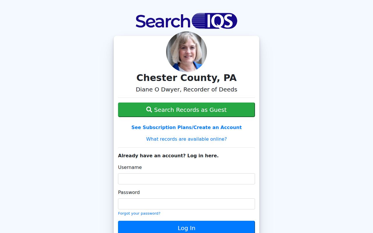
The older-document view is a reminder to carry the exact legal description, party role, book and page, or UPI from one system to the next. A name hit alone can match more than one instrument. Search a buyer as grantee and compare the property description before treating it as the same parcel.
For a modern address, this is the deed portion of the street directory rather than a separate people search. The result records parties to a transaction, dates, and property language. It does not identify everyone who may have lived there.
West Goshen Township Records Found by Street
Address-keyed sources answer different questions. The coverage below keeps the street directory focused on what each custodian actually maintains. Start at the parcel, then move to the record that supports the specific question. A deed is stronger for title history than an assessment mailing field; a Township form can identify a project or request path but does not establish current occupancy.
| Address-keyed source | Custodian | Useful street evidence | Access route and boundary |
|---|---|---|---|
| Assessment / MEA parcel record | Chester County Assessment | Owner, mailing address, site address, sale history, and a recent deed reference | ChescoViews; mailing is not situs or occupancy. |
| GIS parcel map | Chester County GIS | Parcel geometry, roads, subdivisions, municipal and ZIP-boundary context | Read-only ChescoViews; use Identify and layers. |
| Recorded deed, mortgage, or plan | Chester County Recorder of Deeds | Parties, recording details, legal description, and property history | Records Search, SearchIQS, Search Library, or Archives by era. |
| Township code or land-development file | West Goshen Code Enforcement | Named application, project, plan, or compliance chronology when released | Forms and targeted request; no verified public results database. |
| Public-information voter list product | Pennsylvania Department of State / county channel | Regulated street or walking-list content for an authorized request | Certification and nonpublication restrictions apply. |
| Historic map or atlas | Archives, CCHC, or Library of Congress | Road alignment, development context, and some owner labels | Geographic aid only; corroborate with a primary deed. |
The UPI, site address, deed reference, and legal description connect the stronger rows. A street name is useful to discover parcels, but it is too broad to prove who lived at a particular one. For a dated household question, the historical material belongs with the confirmed collections on the West Goshen Township city directories route.
West Goshen Township Address Requests
West Goshen Township's Code Enforcement page documents building, zoning, use-and-occupancy, grading and drainage, road-occupancy, subdivision, land-development, and complaint materials. The research found forms and an office channel, not a searchable public permit-results screen. A useful request therefore names the property address, record type, and approximate date range. A plan name, lot, and UPI can be more precise than a street name alone.
Visit the West Goshen Code Enforcement forms and request channel for the documented materials.
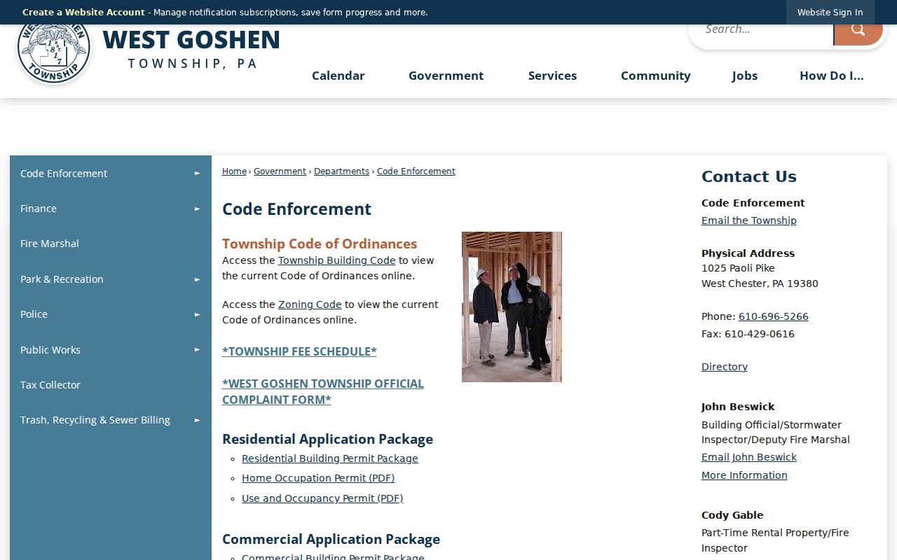
The form collection supports a targeted-record request when an online result is not available. A released application can date work or a local review, but it does not prove title or identify every resident of an address.
Pennsylvania's Right-to-Know Law, Act 3 of 2008, 65 P.S. §§ 67.101–67.3104, provides a process for existing agency records subject to exemptions. Direct the request to the appropriate Township officer instead of asking staff to assemble a street list.
West Goshen Township Voter Street List Rules
Pennsylvania's public status service is for an individual voter, not for browsing a street. A person can use the official status tool online or contact the county voter-registration office or 1-877-VOTESPA. The returned status information should be treated as specific to the searched voter, not as a way to name other people at an address.
The state voter-list request form separately describes a Street List, a Walking List without mailing addresses, and a regulated full export. The recipient must make the statutory certification and may not place the acquired information online. That legal path is not material for copying into a West Goshen Township street directory. It is a controlled public-record request with its own terms.
Note: A named-elector computer inquiry and a public-information list are distinct procedures under Pennsylvania election rules.
Historic West Goshen Township Roads
Historic maps give a street record a time frame. Chester County's documented West Goshen atlas sequence includes Witmer in 1874, Breou in 1883, Mueller editions in 1897 and 1912, Bromley in 1926, Franklin editions in 1933/34 and 1950, and an H.D. Carlson map lead for 1957. They can show a road pattern, subdivision context, or an owner label where a particular sheet actually displays one. They are not a substitute for a deed.
Open the county’s early deed index and digitized books when a map lead needs to be checked against recorded title.
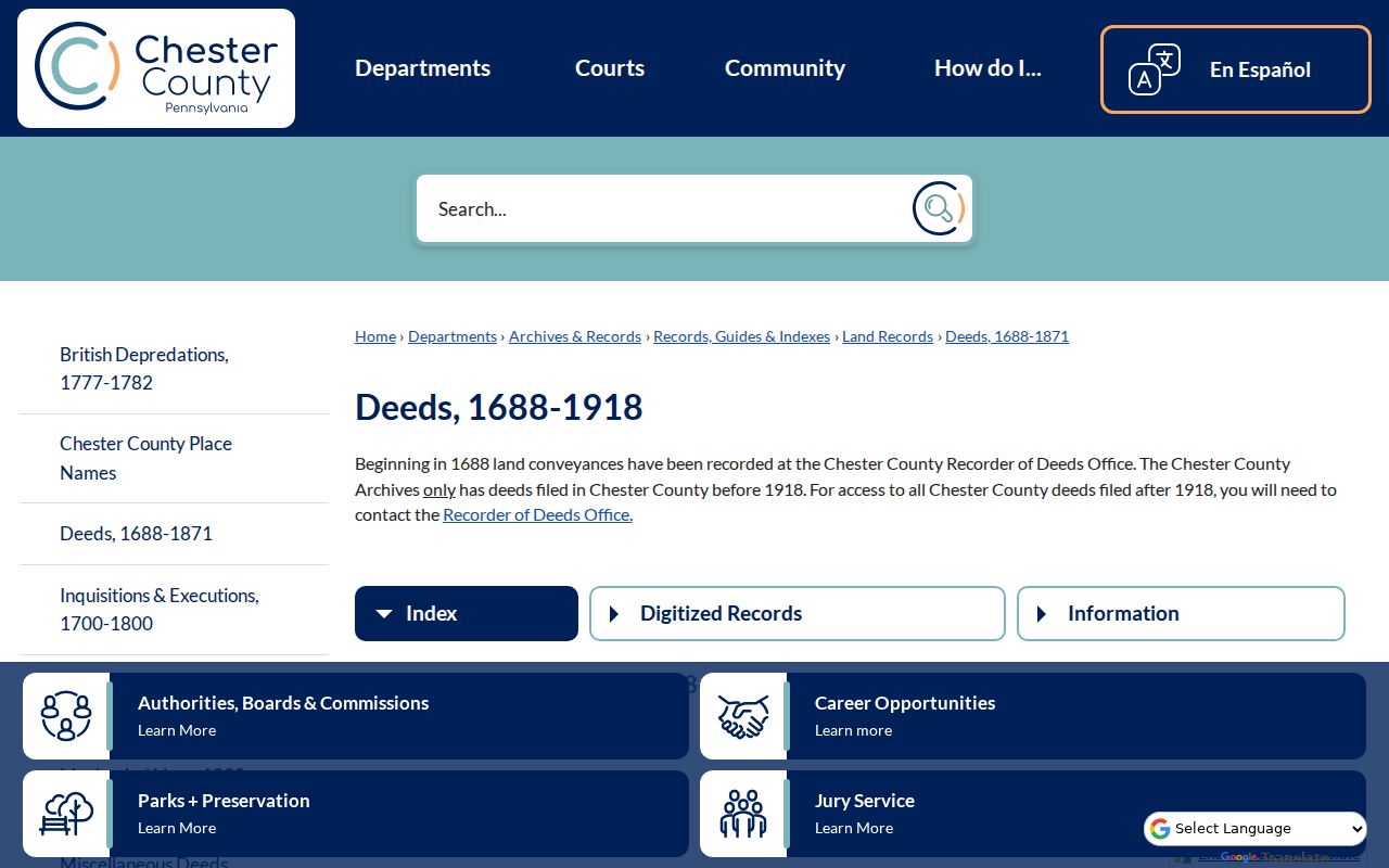
The early index supports a grantor-and-grantee review for the historic parcel trail. County research cautions that early conveyances may have been recorded late or, in some cases, in Philadelphia, so an index gap is not automatically a gap in ownership.
West Goshen Township Address Continuity
No verified official source located a Township-wide street-renumbering or road-renaming project with a date. That absence is important. Do not assign a date to a change that is not documented. Instead, compare the deed's legal description, UPI or PIN, subdivision plan, nearby intersection, and the historical atlas series. Those markers survive address-format changes better than a text search.
West Goshen itself was separated from historic Goshen in 1817. For early land or civic leads, add “Goshen” to a search and then use the legal description and map context to decide whether the later West Goshen Township property is actually the same place.
West Goshen Township Street Directory Limits
A parcel record names an owner or tax-correspondence contact, not every person at the location. Deed parties are transaction participants, not a household roll. Court captions do not establish a street address. Public records also do not turn driver data, utility or delivery accounts, sealed or limited court files, or Address Confidentiality Program addresses into street-directory material.
Lawful use. Use West Goshen Township address records for personal, lawful research such as family history, property questions, or checking a record with its custodian. Pennsylvania harassment and stalking laws, 18 Pa.C.S. §§ 2709 and 2709.1, do not permit using records to follow, threaten, intimidate, or harass anyone.
Pennsylvania's Address Confidentiality Program provides substitute-address protection for eligible participants. A public record search should never be used to try to defeat that protection.