
West Goshen Township ZIP Code Coverage
Two standard delivery ZIP codes are documented for West Goshen Township. Both use West Chester, Pennsylvania as the postal city, and both cross municipal boundaries. The examples in the table identify township locations, not hard postal-boundary lines. USPS confirms the current ZIP for an exact street address, while county GIS confirms whether that address lies in West Goshen Township.
| ZIP | Areas Covered | Post Office | Notes |
|---|---|---|---|
| 19380 | Central and northern township examples, including the Municipal Complex, Community Park, Lambert Park, and Coopersmith Park | West Chester, PA | Standard delivery ZIP that crosses municipal boundaries |
| 19382 | Southern and western township examples, including Barker Park at 835 Falcon Lane and Westtown Road examples | West Chester, PA | Standard delivery ZIP shared with nearby municipalities and areas |
The ZIP layer in ChescoViews intersects the township at 19380 and 19382. It does not establish post-office-box service or determine a property’s local jurisdiction. Carrier routes can change, so an exact-address USPS result is more reliable than drawing conclusions from a town name or ZIP-wide assumption.
West Goshen Township Postal City Limits
West Goshen is a Chester County township, not West Chester Borough. The Township's own address, 1025 Paoli Pike, is written as West Chester, PA 19380. That mailing label does not move the municipal complex into the Borough. The same distinction applies to permits, zoning questions, police service, and Right-to-Know requests: use West Goshen Township when GIS or the property record identifies the parcel there.
A postal city is the delivery label, while a municipal name identifies the local government. Chester County row offices in West Chester may hold the core land or court records for a township address, yet township Code Enforcement and its RTKL officer remain the local route for a releasable permit or zoning file.
Confirm a West Goshen Township ZIP Code
Use USPS ZIP Code Lookup with the complete street address whenever present routing matters. That avoids guessing from a nearby landmark, a database mailing address, or an older document. The research did not capture a published USPS field inventory beyond the exact-address lookup instruction, so it is safer to document the address-level method than to invent controls or promise a ZIP-wide result list.
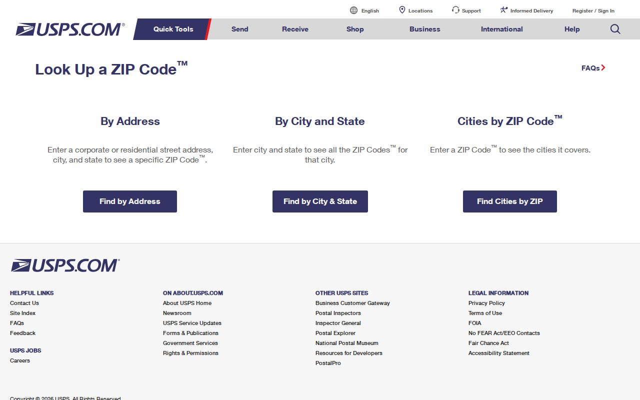
The USPS result confirms present mail routing for the entered address. It does not establish who lives there, who owns it, or which municipal office holds a record. Preserve the confirmed ZIP with the full address, then compare it to the municipal boundary and parcel information before sending a request or continuing historical research.
West Goshen Township Parcel Search Fields
ChescoViews is the county's read-only property and GIS route, but it does not document ZIP code as a direct query filter. Its published search options are address and parcel based. The map can display a ZIP-boundary layer, yet that layer is for interpretation rather than a command to retrieve every parcel in 19380 or 19382.
| Published field or tool | Use for a West Goshen Township address |
|---|---|
| Address | Start with a precise site address when known. |
| Owner Name | Find an assessment ownership record, not a household list. |
| UPI | Use the county parcel identifier, which is distinct from a ZIP code. |
| PIN | Use the separate parcel numbering system when available. |
| Street Name | Narrow an address without claiming ZIP-wide coverage. |
| Municipality | Check West Goshen Township rather than relying on the West Chester postal label. |
| Street Intersection / map layers | Resolve a road location and compare parcels, ZIP boundaries, and municipal boundaries. |
Assessment data can show the tax owner, owner mailing address, site address, sale history, and latest deed reference. A mailing ZIP can differ from the property’s ZIP, and neither item proves occupancy. When the app is slow or unavailable, the county landing page and Assessment counter remain the documented fallback.
West Goshen Township ZIP Code Workflow
ZIP is a useful starting point for sorting an address, but the county and state systems in the research do not offer a public all-residents search by 19380 or 19382. Use it to verify delivery, then move to the record key each custodian actually accepts. This retains the local ZIP-code angle without overstating a portal's capabilities.
- Enter the exact street address in USPS ZIP Code Lookup and retain the current postal city and ZIP.
- Search ChescoViews by address, street name, municipality, UPI, or PIN and inspect the municipal-boundary layer.
- Use the site address and UPI or legal description for a Recorder of Deeds search. Deeds may not contain a current ZIP.
- For a township permit or zoning question, name the property address, West Goshen Township, time period, and record type in a targeted request.
- Use Pennsylvania voter status only for an individual-status question with the required identity details and Chester County selection. It is not a public ZIP browsing tool.
Once GIS identifies the parcel and municipality, the Streets resource provides the address-level public-record path. Pennsylvania's voter public-information framework is governed by the Election Code and Department rules, not a broad township ZIP request. Protected ACP information and sensitive identifiers are not ordinary lookup targets.
West Goshen Township ZIP Code 19380
ZIP code 19380 includes central and northern West Goshen examples. The Township Municipal Complex at 1025 Paoli Pike uses this ZIP, as do the documented Community, Lambert, and Coopersmith park examples. Those examples help orient an address, but do not define the full shape of 19380 or prove that every nearby West Chester postal address belongs to West Goshen Township.
For a records question, treat the street address as the starting point. ChescoViews can confirm the parcel and municipality, while the Township's Code Enforcement page is the route for building, zoning, use-and-occupancy, and related forms. No verified public permit-results database was found, so a focused request should specify the address, approximate date range, and record sought.
West Goshen Township ZIP Code 19382
ZIP code 19382 supplies the documented southern and western township examples. Barker Park at 835 Falcon Lane is in 19382, and township materials also identify Westtown Road examples in that ZIP. It remains a shared West Chester postal-area ZIP, so the same municipal-boundary check applies before a request is sent to the Borough, Township, or county office.
Road and parcel context are especially helpful where the postal city looks identical on both sides of a municipal line. The Township's official route-number map provides the current road network, and ChescoViews can add parcel, road, subdivision, and municipal layers. Use a legal description, UPI, or recorded plan when a current number or street name does not cleanly match historic records.
West Goshen Township ZIP Code Limits
The two standard delivery ZIPs in the coverage table are the documented West Goshen Township postal areas. A 19383 university mailing label appears in a township overlay as institutional context, not as proof of a third standard delivery ZIP for the township. A revealing local quirk is that a ZIP polygon can touch a property while a separate parcel layer determines its municipal identity, which is why the map must be read with both layers active.
- ZIP and ZIP+4
- The five-digit ZIP routes a broad postal area. The added four digits refine delivery for a smaller segment, but do not change a parcel's municipality.
- PO-box ZIP
- A ZIP assigned to post-office boxes identifies a postal service arrangement. The county ZIP layer does not prove box service at a location.
- Unique ZIP
- A ZIP used for a single institution or large organization. It is not evidence that the same ZIP is a township-wide residential delivery area.
- Carrier route
- A mail-delivery sequence within a ZIP. Routes can change operationally and do not set local-government boundaries.
West Goshen Township ZIP Code History Checks
ZIP codes are weak tools for long property histories. The county's historic atlas sequence, modern route-number map, legal description, UPI, subdivision plan, and deed book or page are better bridges across a road-name or house-number question. Compare road alignment, nearby intersections, parcel boundaries, and subdivision names rather than translating an old address from a superficial map result.
West Chester's 1886 seven-sheet Sanborn map is a useful adjacent borough reference, not blanket coverage for West Goshen Township. Confirm that a particular sheet includes the address before using it. No verified township-wide renumbering project or ZIP realignment was located. A missing history is not proof that no adjustment happened, so use USPS for current routing and recorded parcel evidence for continuity.
Note: A ZIP confirms a delivery route for an exact address; a deed, plan, and county parcel record establish the property trail.